
Smallworld Electric Office and ArcGIS Utility Network both model a connected electric grid, trace it and feed systems such as ADMS. But the main gaps lie in the data model, versions, design tools and skills. So for most firms, the better choice is the one that fits current data, links and in-house skills, not a feature list.
- Smallworld Electric Office is a ready electric product on GE Vernova Smallworld GNM, while ArcGIS Utility Network is a network model inside the Esri platform.
- Both platforms trace connected networks, but ArcGIS Utility Network needs a topology check after edits.
- Then for versions, Smallworld uses its own datastore, while ArcGIS Utility Network uses branch versions.
- Also, skills matter, because Smallworld work often involves Magik and Java while Esri work centres on ArcGIS Pro and Python.
- Finally, a platform change resets the data model and every link, so clean data and clear reasons should come first.
What are Smallworld Electric Office and ArcGIS Utility Network?
Smallworld Electric Office is GE Vernova’s electric product for power firms, built on Smallworld Geo Network Management (GNM). ArcGIS Utility Network is Esri’s network model for utilities, built into ArcGIS Pro and ArcGIS Enterprise. In short, one is an electric product. The other is part of a wider platform.
GE Vernova says Smallworld GNM can model grid connectivity from high voltage transmission through medium and low voltage distribution. Also, it covers solar, storage and EV charging. You can read more on our GE Vernova Smallworld services page. Esri, for its part, launched the utility network in January 2018 through the ArcGIS Utility Network Management extension. At the time, Esri called it one system for network data from source to meter.
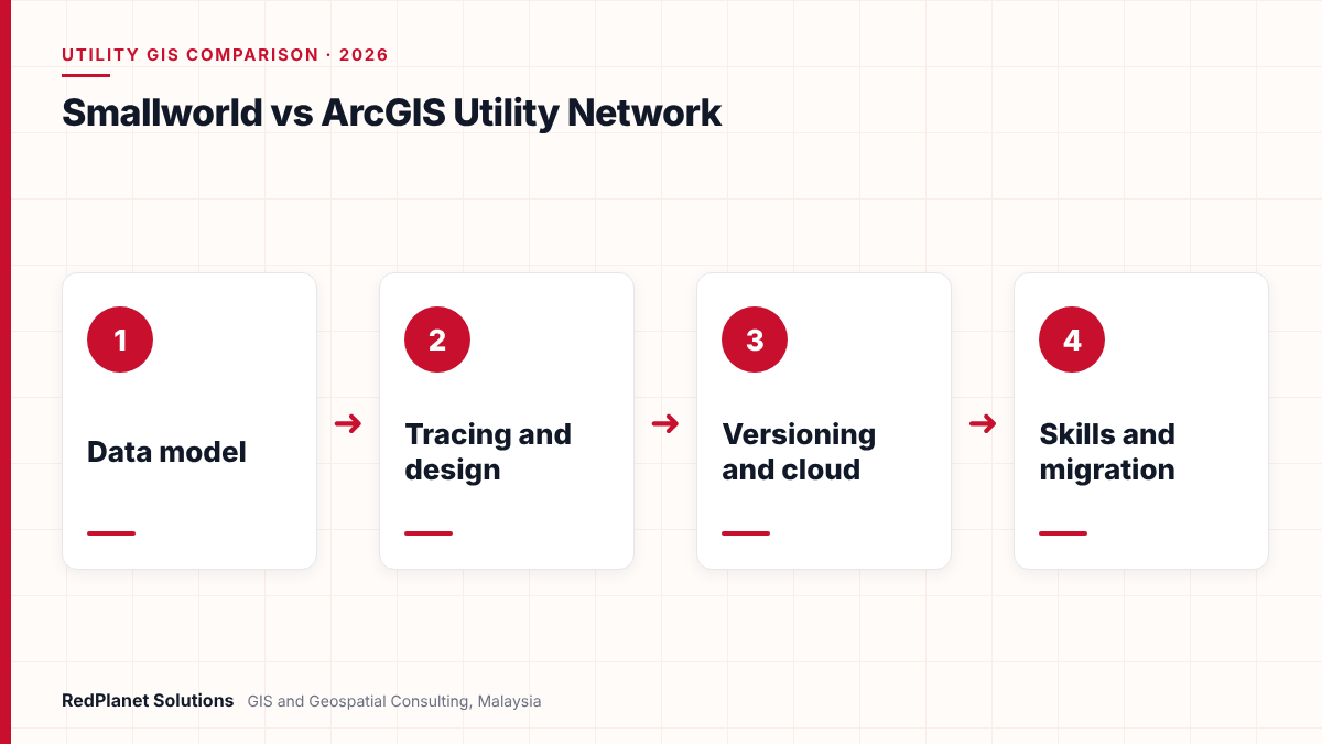
So the two products start from different places. Smallworld began in Cambridge, England, as a network GIS for utilities. Esri, by contrast, built a general GIS platform first and then added a utility network model on top. So that history still shapes how each one feels to use today.
How do the data models of Smallworld Electric Office and ArcGIS Utility Network differ?
Smallworld Electric Office ships with a full electric object model and the apps that use it. ArcGIS Utility Network, by contrast, gives you a general framework that you fill with an electric asset package. As a result, Esri users often start from a template and then add to it.
In ArcGIS, a domain network holds one resource, such as electricity. Within it, tiers group subnetworks, and each subnetwork starts at a controller such as a circuit breaker. In addition, a shared structure network holds poles, ducts, vaults and substations. Then three kinds of link tie it all together: connectivity, containment and attachment.
| Topic | Smallworld Electric Office | ArcGIS Utility Network |
|---|---|---|
| Starting point | Electric product model. | Asset package template. |
| Network scope | Transmission to low voltage. | Domain networks and tiers. |
| Structures | Part of the product model. | Shared structure network. |
| Inside a substation | Inner detail in the model. | Containment links. |
| Change effort | Set up and adapt. | Adapt the asset package. |
For example, Esri’s Electric Utility Network Foundation solution gives a starting schema for distribution and transmission, with sample data and trace settings. But Esri notes it is a base model that most firms build on. So in both cases, plan time to fit the model to your own assets. For more, our guide to geospatial electric network modelling explains why that work pays off.
How does network tracing compare between the two platforms?
Both platforms trace a connected electric network, for instance to find each customer on a feeder. But the main gap is how the network stays up to date. In ArcGIS, you must check the topology after edits before traces show them.
Esri’s utility network trace documentation lists upstream, downstream, subnetwork, isolation, connected, shortest path and loop traces. Also, when you edit features or associations, ArcGIS Pro marks dirty areas. Then a validate step updates the topology and clears them. So teams need a clear rule for who validates and when.
Smallworld tracing
GE lists network tracing among Electric Office web tools. Also, a circuit viewer shows a diagram of the circuit around a chosen object.
ArcGIS tracing
For example, seven named trace types run on feature services. In addition, preset trace settings can ship with the asset package.
Shared need
Either way, traces are only as good as the links in the data. So broken links and wrong switch states give wrong answers on both.
In practice, trace quality depends far more on data than on software. For instance, one open switch drawn as closed can push a whole feeder onto the wrong source. Therefore, test traces on sample feeders before you trust any result.
How do design tools and versioning work in each platform?
Smallworld Electric Office includes dedicated electric design tools, and it stores work in the Version Managed Datastore (VMDS). ArcGIS Utility Network, however, uses branch versions through feature services. So design tools in ArcGIS often come from Esri partners or your own build.
Design
GE describes Smallworld Electric Office Design as a full set of electrical design tools. Its Design Manager also helps automate the design of new assets, and Electric Office added design costing support. By contrast, with ArcGIS Utility Network you edit in ArcGIS Pro with feature templates. Then these templates can create the right links as you place assets. But a full work order design flow usually needs extra tools.
Versioning
In Smallworld, many users edit at once in separate versions. Later, those versions merge back into the master database, and conflict rules stop lost edits. In ArcGIS, however, you edit a utility network only through a published feature service. Your changes sit in a named branch version until you reconcile and post them to Default. So both platforms support long design jobs, but they work in different ways.
Neither platform wins at design on its own. Instead, the right answer depends on how your engineers work today. So map one real design job, from request to as-built, on both platforms before you decide.
How do integration and cloud options compare?
Both platforms can feed ADMS, outage, asset and planning tools. Smallworld links closely with GE Vernova’s own grid tools. Esri, however, offers a wide partner market. Also, both now run on major public clouds.
GE says Smallworld Electric Office helps close the gap between GIS and ADMS without replacing existing systems. Also, its GIS Adapter uses the IEC CIM standard for data exchange. Next, the recent Smallworld GNM 6.0 release focuses on cyber readiness, usability and GridOS links. It also adds VMDS Cloud with PostgreSQL. In addition, GE says Smallworld solutions can run on AWS, Google Cloud or Microsoft Azure.
On the Esri side, cloud tools deploy ArcGIS Enterprise on AWS and Azure. Also, from ArcGIS Pro 3.5, you can take a sync-enabled utility network offline to edit and trace in the field. But Esri says this needs ArcGIS Enterprise 11.3 or later. Our Esri ArcGIS services page covers how we set up these platforms.
In Malaysia, for instance, link quality matters more each year. The National Energy Transition Roadmap targets 70 percent of generation capacity from renewable sources by 2050. So a GIS must now feed ADMS and planning tools with far more solar and storage data, whichever platform you choose.
What skills does each platform need?
Smallworld teams need people who know Magik, Java and the Smallworld data model. Esri teams, on the other hand, need ArcGIS Pro, ArcGIS Enterprise and Python skills, plus network design know-how. Also, both need people who know the electric network itself.
First, Smallworld was built on Magik, an object-oriented language. Then in 2015, GE moved the Smallworld GNM stack onto the Java Virtual Machine. As a result, newer work often mixes Magik and Java. Meanwhile, the pool of ArcGIS users is large. But deep network skills, such as tier design and subnetwork rules, are much rarer.
Count real skills
List who can build, configure and support each platform today, not who has used it once.
Plan for turnover
Next, check how fast you could replace a key person on each platform in your market.
Budget for partners
Most utilities use partners for upgrades and complex work, so include that cost in the plan.
In our experience, utilities rarely fail because they picked the wrong platform. Instead, they struggle when nobody owns the network model after go-live.
RedPlanet Solutions
What migration paths exist between Smallworld and ArcGIS Utility Network?
In general, firms have three main paths. They can upgrade Smallworld in place, move from Smallworld to ArcGIS Utility Network, or move from an older Esri geometric network to the utility network. But each path carries a different level of risk.
First, many Esri users face their own move. Esri retired ArcMap on 1 March 2026, so geometric network users now look to ArcGIS Pro. So for them, Esri offers a migration wizard and a Migrate To Utility Network tool. These tools map old classes to new asset groups and types. Then Analyze Network Data helps find and fix common errors.
You run Smallworld Electric Office and your links work well.
Upgrade to a current Smallworld GNM release and trim custom code.
Your group has set Esri as its single enterprise GIS.
Plan a full move to ArcGIS Utility Network with its own model design.
You still run an Esri geometric network.
Move to ArcGIS Utility Network with Esri’s migration tools.
Your data quality is poor today.
Clean the data first, then choose the platform.
Next, a move from Smallworld to Esri needs a full mapping spec and repeatable loads. Safe Software lists a Smallworld 4/5 format in FME that reads and writes data. So our FME services team can build the same workspaces for every trial load. For the full method, see our Smallworld migration planning guide and our GIS data migration work.
Weighing Smallworld Electric Office against ArcGIS Utility Network? Our consultants work with both and can review your options.
How should an electric utility choose between the two?
So choose based on your current data, your linked systems and your skills. Feature lists matter less, because both platforms cover the core needs. Then test the shortlist on your own data.
Comparing demos only
Vendor demos use clean data. So always test with a sample of your own feeders.
Ignoring links
ADMS, SAP and SCADA links often cost more than the GIS itself, so price them early.
Moving for one feature
A single missing tool is rarely worth a platform change, because partners or custom work can often fill it.
Skipping schematics
Control rooms rely on diagrams, so check how each platform produces them.
For schematics, ArcGIS builds network diagrams from templates, in geographic or pure schematic form. Smallworld, for its part, offers a circuit viewer and schematic tools. Our article on utility network schematic diagrams from GIS compares the options in more depth.
Also, look beyond electric. For example, if you run water or gas networks too, both vendors offer models for them. Our guide to GIS for electric, water, gas and telecom utilities covers how one platform can serve several networks.
Frequently Asked Questions
What is Smallworld Electric Office?
Smallworld Electric Office is GE Vernova’s electric product built on Smallworld GNM. It holds a connected network model, supports network tracing and includes electric design tools. Also, GE says it helps link GIS and ADMS without replacing existing systems. So power firms use it as the main record of their electric network.
Is ArcGIS Utility Network the same as the geometric network?
No. In fact, the geometric network was the older Esri model used with ArcMap. ArcGIS Utility Network is the newer model, launched in 2018, and it adds domain networks, tiers, subnetworks and associations. Esri retired ArcMap in March 2026, so geometric network users now move to the utility network in ArcGIS Pro.
Can I move from Smallworld Electric Office to ArcGIS Utility Network?
Yes, but treat it as a full data project from the start. You need a mapping spec from the Smallworld model to an Esri asset package, plus repeatable loads and link tests. Since FME reads and writes Smallworld data, it often runs the loads. Our data migration team can help scope the work.
Do both platforms support cloud deployment?
Yes. GE Vernova says Smallworld solutions can run on AWS, Google Cloud or Microsoft Azure, and GNM 6.0 adds VMDS Cloud with PostgreSQL. Also, Esri offers cloud tools that deploy ArcGIS Enterprise on AWS and Azure. However, check data residency and security needs against local rules before you choose a host.
Which platform has better network tracing?
In short, both trace connected electric networks well. ArcGIS Utility Network lists upstream, downstream, subnetwork, isolation, connected, shortest path and loop traces. However, it needs topology validation after edits. Smallworld also offers tracing and a circuit viewer. In practice, data quality decides trace accuracy far more than the software does.
What skills do I need for each platform?
Smallworld work often needs Magik and Java skills, plus knowledge of the Smallworld data model. By contrast, Esri work needs ArcGIS Pro, ArcGIS Enterprise and Python skills, plus network design know-how. Also, both need people who know the electric grid. So many utilities also use partners for upgrades and complex builds.
Which is better, Smallworld Electric Office or ArcGIS Utility Network?
Neither one is better for every utility. Smallworld Electric Office gives a mature electric product with strong design tools and close GE Vernova grid links. ArcGIS Utility Network, by contrast, gives a flexible model inside a widely used platform. It also has a large partner market.
So start with your facts. First, rate your data quality and your link needs. Next, count your real skills. Then test both platforms on your own feeders. Finally, if a move still makes sense, plan it as a data project with repeatable loads and early link tests. That way, your electric utility GIS stays trusted through the change.
Expert Guides
Related GIS Guides
 GuideArcGIS Utility Network Explained: Data Model, Tracing and MigrationSee how the ArcGIS Utility Network works: domain networks, tiers, subnetworks, associations, trace types, industry models and geometric network migration.Read the guide →
 GuideGE Smallworld Migration Planning: Moving to a Modern Utility Network ModelPlan a Smallworld migration with confidence: upgrade or replatform options, data model mapping, FME, integration testing, cutover steps and key risks.Read the guide →
Compare Smallworld and ArcGIS With Consultants Who Work on Both
RedPlanet Solutions helps electric utilities review Smallworld and Esri systems, test network models on real data and plan upgrades or migrations. Talk to us about the right path for your grid.

PK Senthilkumar is CEO of RedPlanet Solutions. His work focuses on GIS consulting, network-based GIS for utilities, enterprise GIS modernisation and practical spatial decision-making for organisations operating across Malaysia, India, Australia and international markets.
About RedPlanet Solutions
RedPlanet Solutions (M) Sdn Bhd is a Malaysia-based GIS consulting and geospatial services company and part of RedPlanet Berhad. The company delivers GIS for electric utilities, spatial data collection, drone surveying, mobile mapping and GIS software development to utilities, government agencies, smart cities and private sector organisations across Southeast Asia, the Middle East, Australia and beyond. RedPlanet works across leading commercial and open-source GIS ecosystems, including GE Vernova Smallworld, Esri, Hexagon, SuperMap, QGIS, GeoServer and FME.