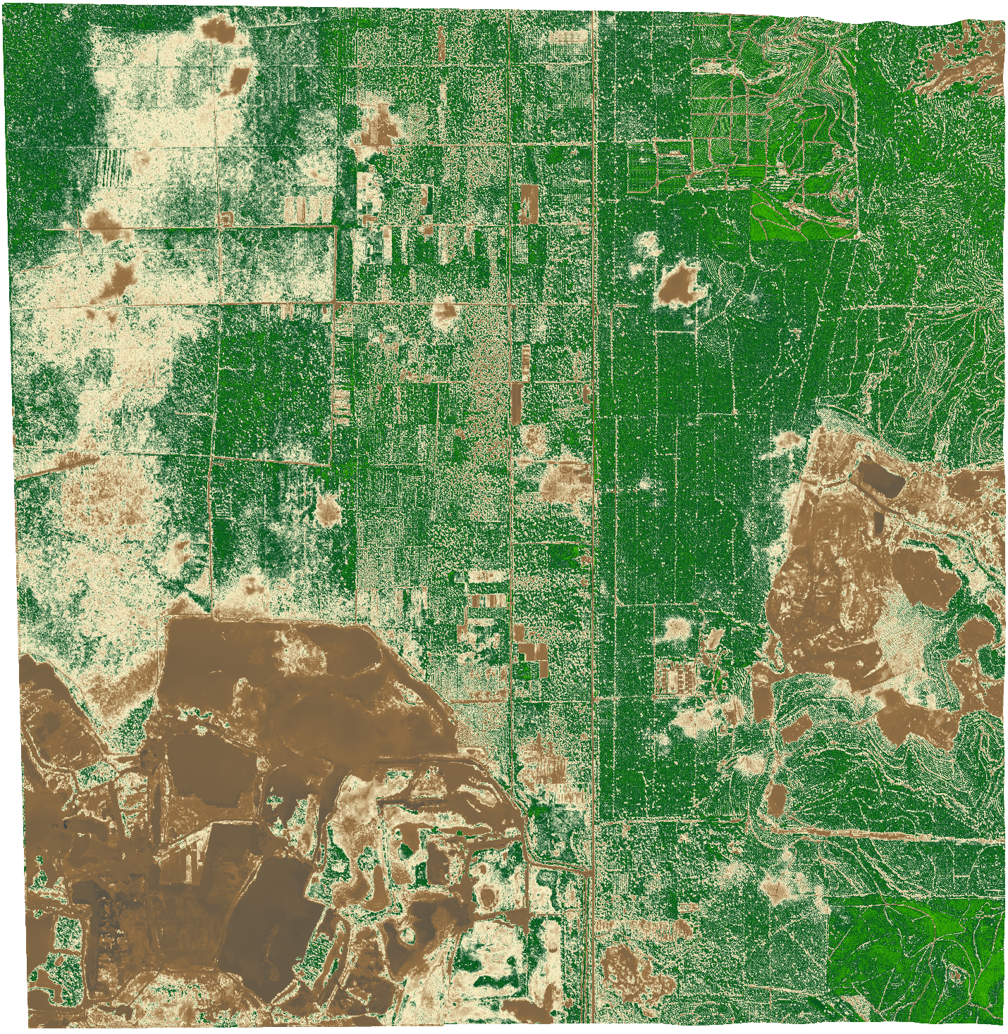
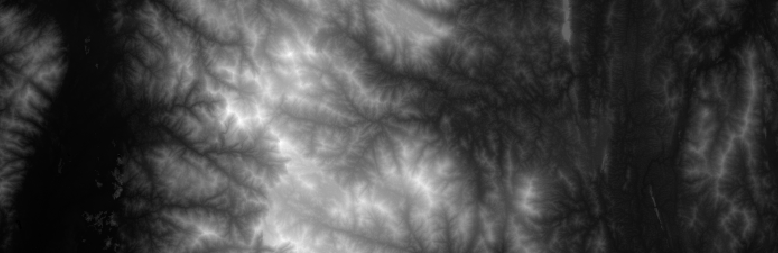
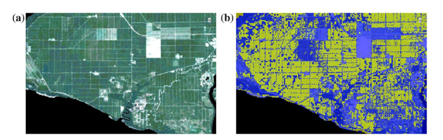
SRTM (Shuttle Radar Topography Mission) is a near-global digital elevation model derived from interferometric SAR data at 30-metre resolution. It is used for watershed delineation, hydrological modelling, flood inundation analysis, infrastructure route planning, slope assessment, terrain visualisation, and line-of-sight analysis for telecommunications. Whether you need a single high-resolution image, a time-series archive for change detection, an NDVI analysis of your plantation estate, or SAR coverage through persistent cloud cover, RedPlanet Solutions sources, processes, and delivers satellite imagery products tailored to your requirements. Our team advises on the right sensor type, resolution, revisit frequency, and analytical product for your application, ensuring you receive analysis-ready intelligence, not just raw images. We source commercial satellite imagery from leading providers including Maxar Technologies and Planet Labs, and deliver processed outputs (georeferenced GIS layers, NDVI maps, land cover classifications, DEM products, and change detection analyses) directly into the workflows and platforms your team already uses, including Hexagon, SuperMap, and QGIS.