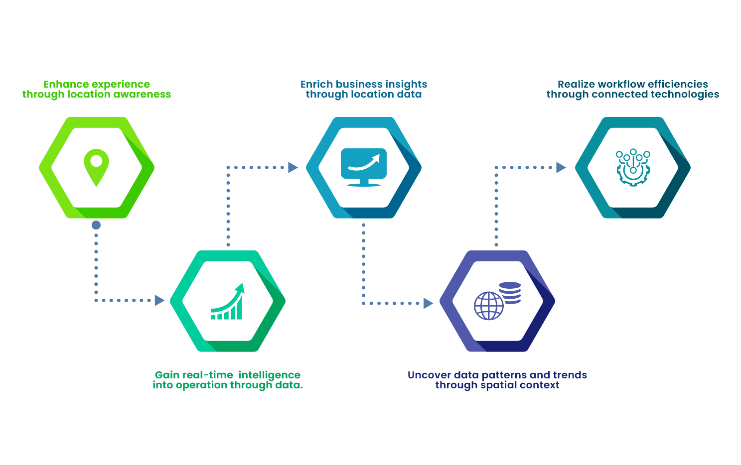
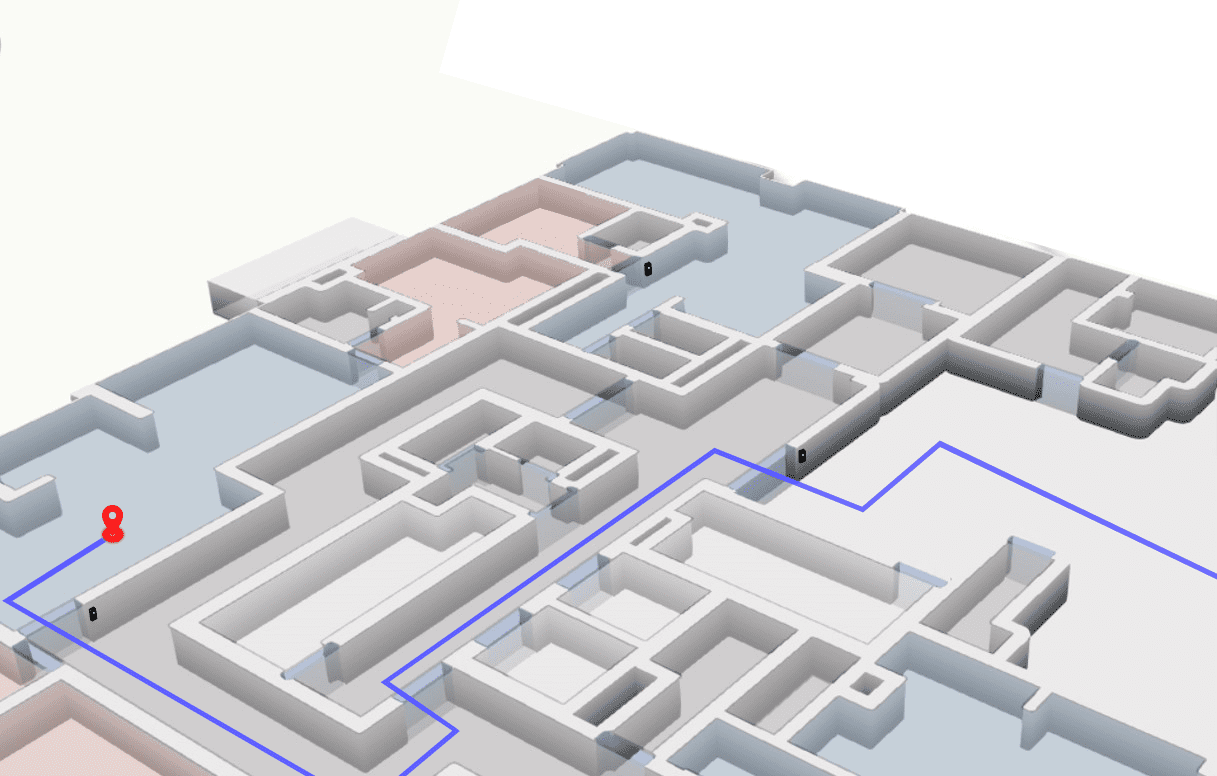
INDOOR MAPPING SOLUTION

Wayfinding and Efficient indoor planning for operations and management

Interactive digital indoor map displayed on a screen showing building layout, spatial zones and wayfinding routes for facility navigation

WHAT WE DO

Location & wayfinding solution

Indoor mapping is the process of converting floorplans into digital, interactive representations of indoor spaces. In addition to serving as a wayfinding platform, indoor maps leverage business rules, localization and the IOT to enable users to visualize spatial data, creating real- time indoor location intelligence. With our indoor mapping platform, any system can be enhanced to display data in the context of an indoor map.

solutions

Leverage the power of Indoor location

Indoor Mapping is a technology that makes it possible to plan and execute indoor operations in a more efficient way. It uses the latest in mapping, location analytics and artificial intelligence to create a map of your facility, which can be used to aid navigation and provide data on traffic flow and bottlenecks.


Navigation makes it easy as our platform empowers the algorithm for the wayfinding between two waypoints to provide the users optimal travel path, distance and details to increase the positioning and travel experience.

Indoor navigation interface showing optimal route calculated between two waypoints on a building floor plan with distance and direction details

benefits

Safer and smarter lifestyle

Infographic showing five indoor mapping benefits including location awareness, real-time data and workflow efficiency

Speak to us today!

Explore how GIS can help your organization solve industrial challenges. We expand more potential on your industrial data that you have within your reach.