
Skip to content
RedPlanet Solutions GIS and geospatial services company logo
  • Overview
    • About Us
    • What is GIS
    • About Redplanet Group
  • Industry Solutions
    • Smart Agriculture
    • Smart Cities
    • Smart Utilities
      • Electric
      • Gas
      • Telco
      • Water
  • Business Services
    • Data Management
      • Data Collection
        • Geospatial Data Collection
        • Field Data Collection
        • Mobile Mapping Services
        • Drone Surveying
        • Indoor mapping
        • Satellite Images
        • Topcon Value Line Autosteer
        • Data Digitization
      • Data Processing
        • Data Analysis
        • Geocoding
        • Schematising Services
        • Enterprise Image Processing Solutions for High-Volume Teams
        • Quality Assurance
        • Data Migration
    • Software Development
      • Augmented Reality for Asset Management
      • FME
      • Spatial Eye Solutions
      • ATLAS
      • Esri
      • GE Vernova Smallworld GNM
      • GeoServer
      • Hexagon Geospatial
      • QGIS
      • SuperMap
  • Career
  • Blog
  • Overview
    • About Us
    • What is GIS
    • About Redplanet Group
  • Industry Solutions
    • Smart Agriculture
    • Smart Cities
    • Smart Utilities
      • Electric
      • Gas
      • Telco
      • Water
  • Business Services
    • Data Management
      • Data Collection
        • Geospatial Data Collection
        • Field Data Collection
        • Mobile Mapping Services
        • Drone Surveying
        • Indoor mapping
        • Satellite Images
        • Topcon Value Line Autosteer
        • Data Digitization
      • Data Processing
        • Data Analysis
        • Geocoding
        • Schematising Services
        • Enterprise Image Processing Solutions for High-Volume Teams
        • Quality Assurance
        • Data Migration
    • Software Development
      • Augmented Reality for Asset Management
      • FME
      • Spatial Eye Solutions
      • ATLAS
      • Esri
      • GE Vernova Smallworld GNM
      • GeoServer
      • Hexagon Geospatial
      • QGIS
      • SuperMap
  • Career
  • Blog
Contact Us
Get In Touch
RedPlanet Solutions GIS and geospatial services company logo

Category: Enterprise GIS Solutions

Smallworld Physical Network Inventory (PNI) for Telecom and Fibre Networks

Fibre splice closure beside a laptop showing a fibre network inventory map

Smallworld PNI explained for telecom and fibre teams: physical inventory, splice and connectivity records, FTTx design, OSS/BSS links and data migration.

SuperMap 3D GIS Explained: iDesktopX, iServer and Real Use Cases
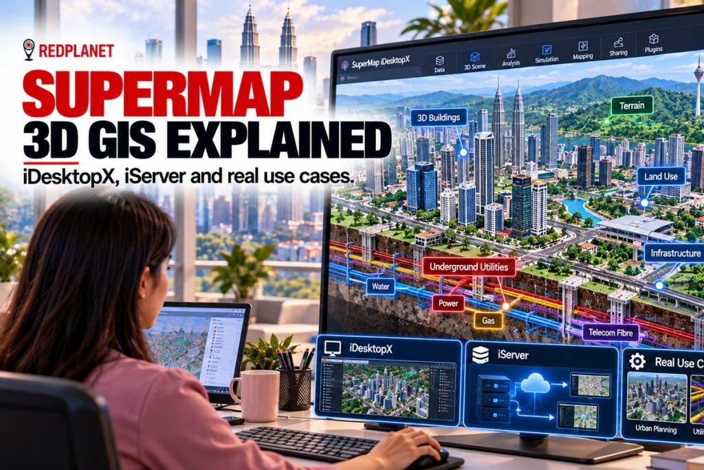
Analyst viewing a SuperMap 3D city model with underground utilities in a cutaway view

A plain guide to SuperMap 3D GIS: iDesktopX, iServer, S3M, BIM and point cloud tools, how it compares with Esri and QGIS, and how licensing works.

GIS for Utilities: How Electric, Water, Gas and Telecom Networks Use GIS

Aerial view of a Malaysian town with electric, water, gas and telecom networks mapped in GIS

GIS for utilities explained: how electric, water, gas and telecom networks use GIS, shared data models, OMS, SCADA and ERP links, and platform choice.

What Is FME? How GIS Teams Run FME GIS Data Migration and Spatial Data Integration
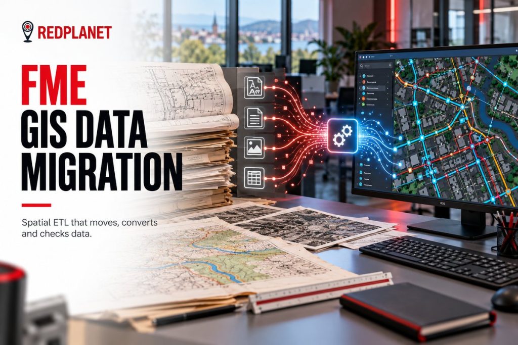
FME GIS data migration featured image: paper maps and CAD drawings converted through a data pipeline into a colourful GIS network map on a monitor, with the RedPlanet logo.

What is FME and how does an FME GIS data migration work? Learn FME Form, FME Flow, transformers, CAD to GIS, Smallworld and Esri moves, plus QA steps.

What Is GeoServer? How to Publish Spatial Data With OGC Standards
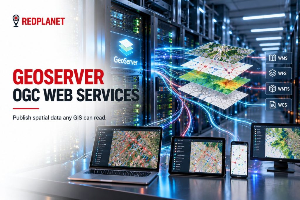
GeoServer featured image: a server room publishing map layers as WMS, WFS, WMTS and WCS services to a laptop, tablet, phone and monitor, with the RedPlanet logo.

What is GeoServer? Learn how this open source map server publishes PostGIS, shapefile and GeoTIFF data as WMS, WFS, WCS and WMTS services.

QGIS vs ArcGIS for Utilities: Which Fits Your Network Data Workflow?
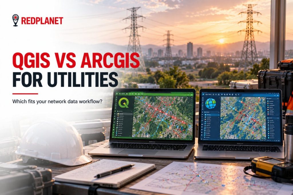
QGIS vs ArcGIS for utilities featured image: two laptops side by side showing the same electricity network in two GIS interfaces on a field office desk with transmission towers at sunset, with the RedPlanet logo.

QGIS vs ArcGIS for utilities: compare licensing, ArcGIS Utility Network modelling, editing, data formats, integration and hybrid setups to pick your fit.

Hexagon Geospatial Software Explained: GeoMedia, M.App Enterprise and Luciad Compared
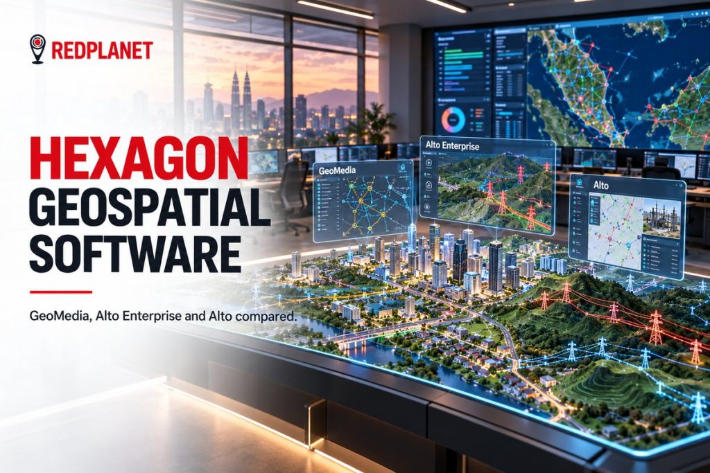
Hexagon geospatial software featured image: a 3D city model on an operations table with GeoMedia, Alto Enterprise and Alto screens floating above it and the Kuala Lumpur skyline behind, with the RedPlanet logo.

Hexagon geospatial software explained: GeoMedia, M.App Enterprise and Luciad, their new Octave names, how they fit together and which suits your use case.

QGIS for Utilities and Infrastructure Teams: A Practical Guide
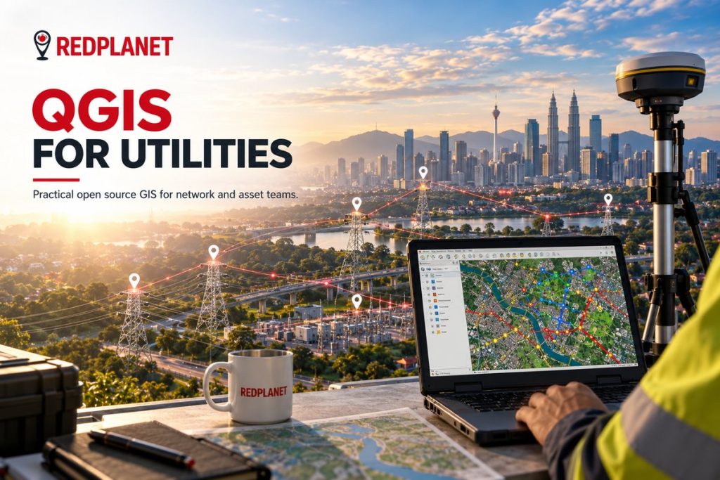
QGIS for utilities featured image: a laptop showing a QGIS network map on a rooftop overlooking the Kuala Lumpur skyline, transmission towers and a GNSS receiver, with the RedPlanet logo.

A practical guide to QGIS for utilities: editing network data, plugins, LTR releases, PostGIS and GeoServer links, limits, costs and support options.

© 2026 RedPlanet Group. All rights reserved.

  • Overview
    • About Us
    • What is GIS
    • About Redplanet Group
  • Industry Solutions
    • Smart Agriculture
    • Smart Cities
    • Smart Utilities
      • Electric
      • Gas
      • Telco
      • Water
  • Business Services
    • Data Management
      • Data Collection
        • Geospatial Data Collection
        • Field Data Collection
        • Mobile Mapping Services
        • Drone Surveying
        • Indoor mapping
        • Satellite Images
        • Topcon Value Line Autosteer
        • Data Digitization
      • Data Processing
        • Data Analysis
        • Geocoding
        • Schematising Services
        • Enterprise Image Processing Solutions for High-Volume Teams
        • Quality Assurance
        • Data Migration
    • Software Development
      • Augmented Reality for Asset Management
      • FME
      • Spatial Eye Solutions
      • ATLAS
      • Esri
      • GE Vernova Smallworld GNM
      • GeoServer
      • Hexagon Geospatial
      • QGIS
      • SuperMap
  • Career
  • Blog