How to Choose a GIS Consulting Firm
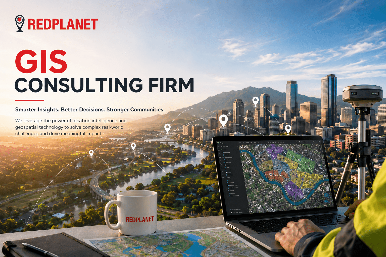
How to Choose a GIS Consulting Firm | Global Buyer Guide 2026 | RedPlanet Solutions Buyer’s Guide · 2026 How to Choose a GIS Consulting Firm Choosing the wrong geospatial consulting partner is expensive. This guide gives decision-makers a clear, evidence-based framework, covering the six criteria that separate genuinely capable