
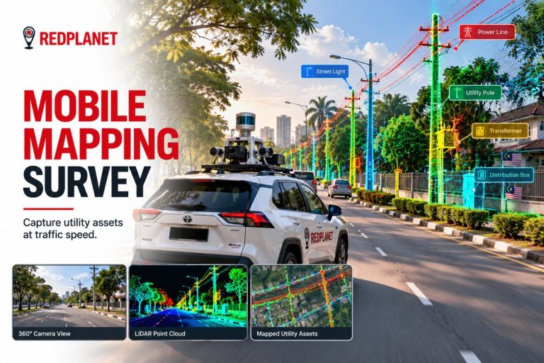
Managing thousands of utility poles across wide service areas is complex, time-consuming, and costly when done manually.
Our AI-Powered Pole Detection Solution uses LiDAR, street-level imagery, and advanced AI analytics to automatically detect, classify, and map utility poles with high positional accuracy — transforming pole management into a fast, data-driven process.
By digitizing poles into a centralized geospatial database, we enable utilities to move from manual audits to automated, scalable asset intelligence.
What AI pole detection delivers:
Designed for power, telecom, street lighting, and municipal operators, this solution improves asset visibility, shortens inspection cycles, and delivers measurable cost savings while supporting regulatory compliance.
⚡ Detect once. Manage smarter. Scale with confidence.
Contact us today to learn how AI-powered pole detection can modernize your asset management and accelerate your Smart City initiatives.
Expert Guides
GuideMobile Mapping Survey for Utility Assets: Methods, Outputs and Use CasesLearn how a mobile mapping survey captures utility assets with LiDAR, 360 imagery and GNSS/IMU, how accurate it is, and when to choose it over drones.Read the guide →

GuideLiDAR Feature Extraction for Utilities: From Point Clouds to GIS AssetsLiDAR feature extraction for utilities: how point clouds and imagery become GIS assets, with classification, AI tools, QA, accuracy and cost drivers.Read the guide →
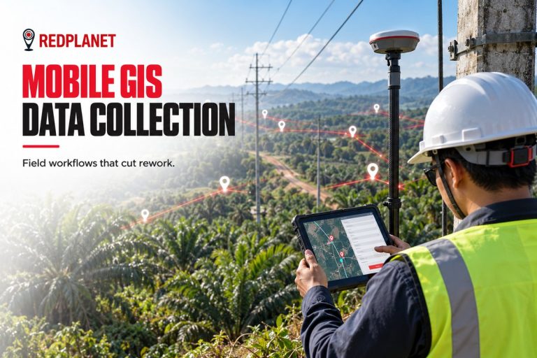
GuideMobile GIS Data Collection for Utilities: Field Workflows That Cut ReworkMobile GIS data collection for utilities: form design, GNSS accuracy, offline sync, photo standards and QA at source that cut field rework.Read the guide →