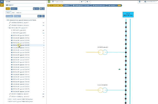
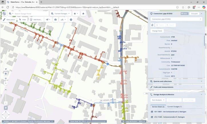
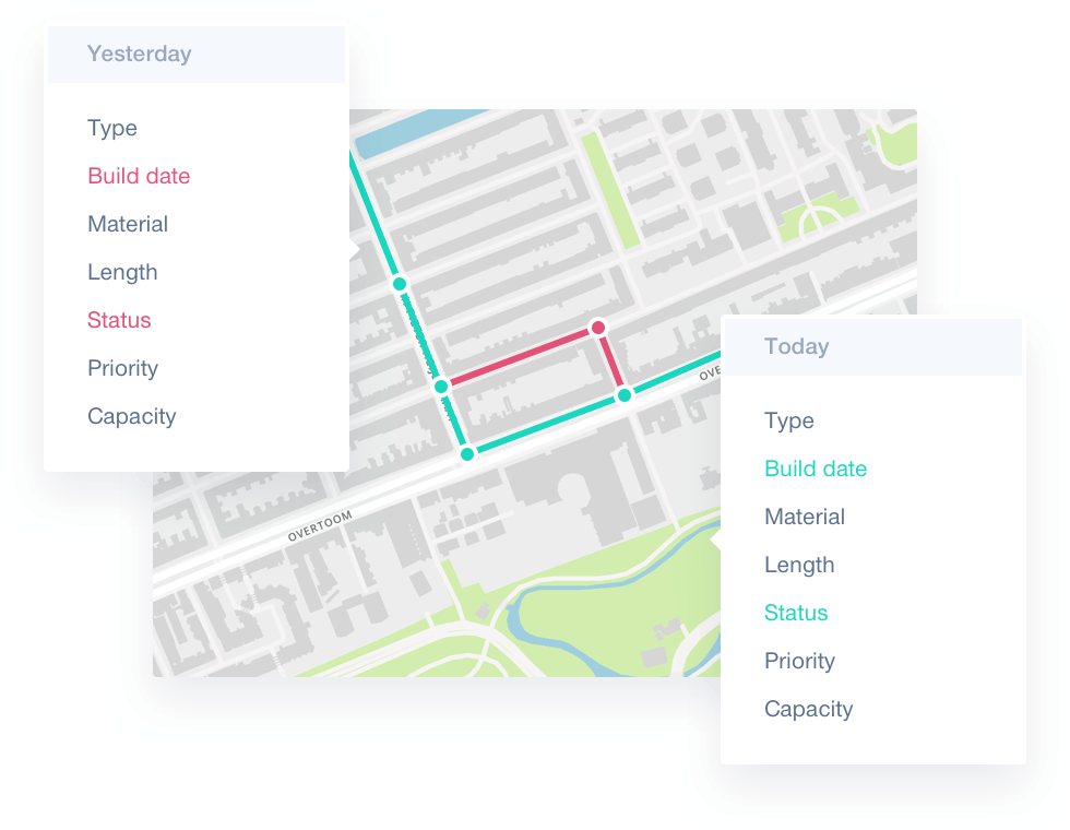
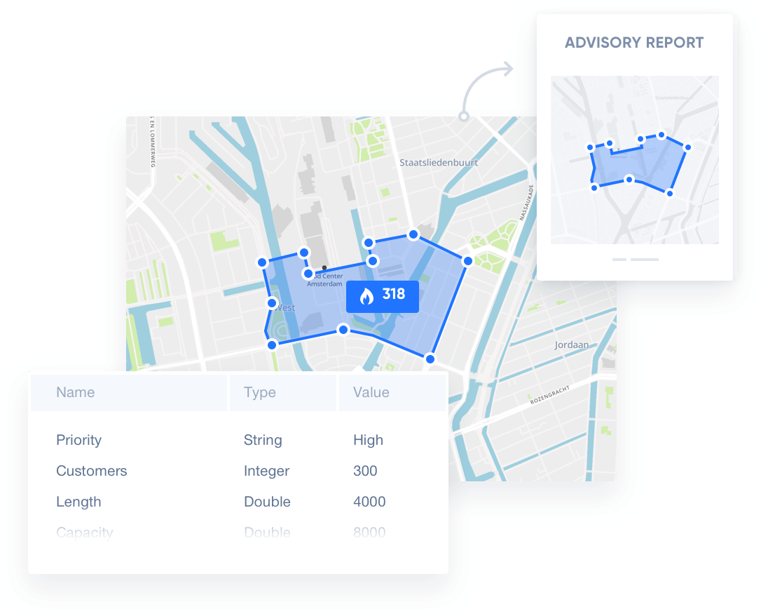
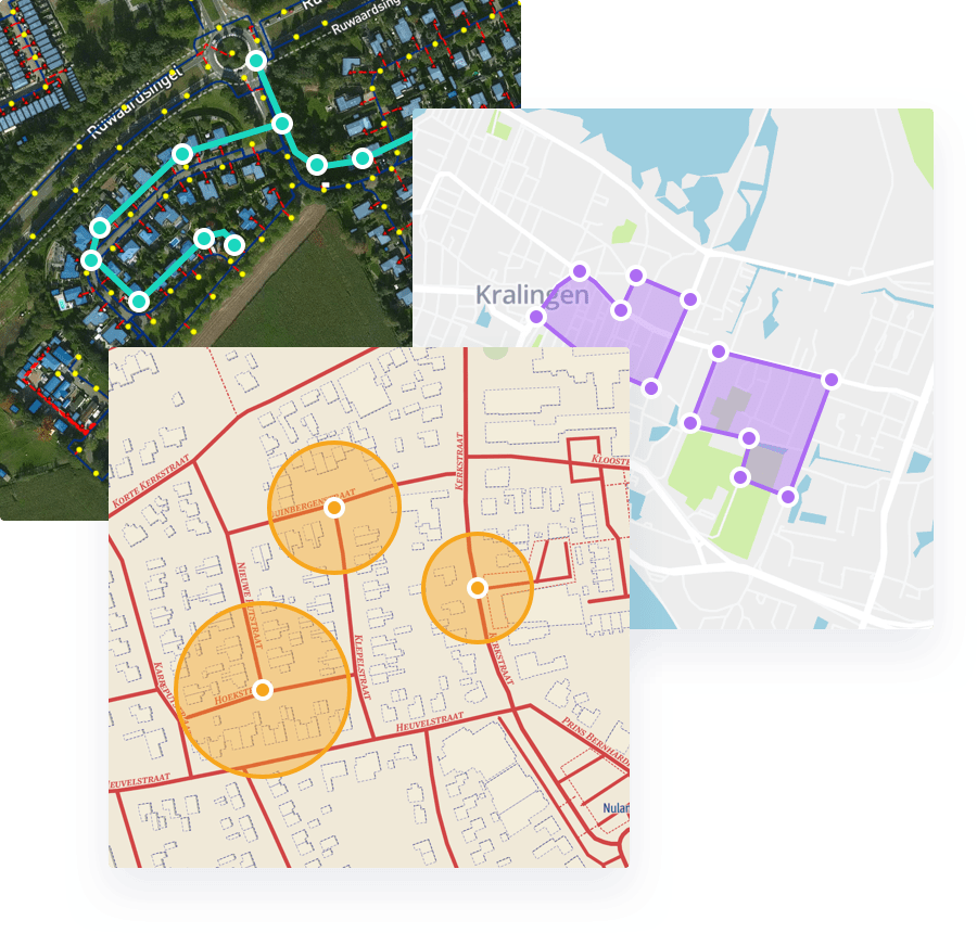
Spatial Eye delivers a suite of five integrated GIS products: SE NetPlan, SE NetCon, SE Warehouse, SE Workshop, and SE Lite. Together, these cover the full spectrum of network planning, connectivity analysis, and spatial data management for utilities, telecommunications providers, and smart city organisations. As an authorised Spatial Eye implementation partner, RedPlanet Solutions deploys and configures the platform across Malaysia, Southeast Asia, India, New Zealand, and the broader APAC region.
Spatial intelligence is the capability to collect, integrate, analyse, and act on location-based data to understand how physical assets, networks, and environments behave over space and time. For network operators managing electric grids, gas pipelines, water distribution systems, or fibre and telecom infrastructure, spatial intelligence is the foundation of every planning decision. From where to build new capacity to how to respond when something fails.
Traditional GIS tools provide maps and spatial queries, but spatial intelligence goes further. It connects network topology with live operational data, historical records, and forward-looking simulations. This gives organisations the ability to understand not just where their assets are, but how they interact, behave under load, and change over time.
A purpose-built spatial intelligence platform for network management enables organisations to:
- Plan, simulate, and validate future network designs before committing capital
- Analyse real-time connectivity and identify gaps or inconsistencies across live infrastructure
- Consolidate spatial and enterprise data from disparate systems into a single, governed repository
- Perform advanced geospatial analysis to support asset management and investment decisions
- Deliver spatial data access to all users, from field engineers to senior leadership, through web and desktop interfaces