
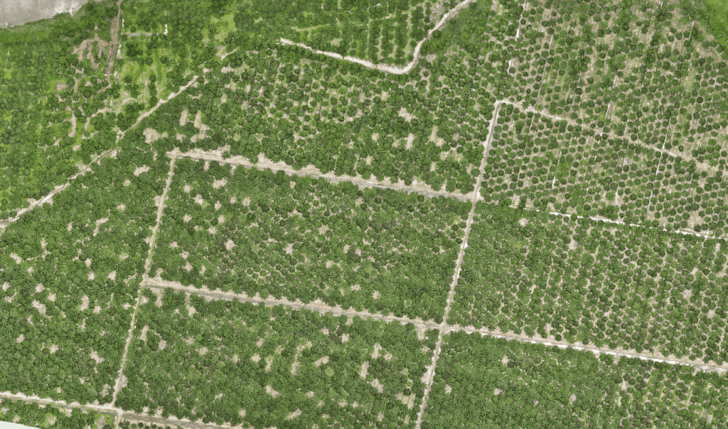
Managing oil palm plantations at scale requires more than maps — it demands intelligence that turns geospatial data into real operational value.
Our GeoAI Solutions for Oil Palm Plantations combine artificial intelligence, geospatial analytics, LiDAR, drone imagery, and GIS to automatically extract insights that help plantation teams optimize yields, reduce costs, and make faster, smarter decisions.
GeoAI moves plantation management from manual analysis to automated, predictive intelligence.
What GeoAI delivers for oil palm operations:
- Automated palm detection, counting, and age classification
- AI-driven health and stress detection for early intervention
- Identification of missing, underperforming, or diseased palms
- Terrain, drainage, and slope analysis for precision planning
- Smarter replanting and yield forecasting based on spatial intelligence
- Reduced field surveys, manual digitizing, and reporting time
Built for plantation groups, estate managers, and agronomy teams, GeoAI creates a digital plantation twin that improves productivity, supports ESG and RSPO compliance, and maximizes return on every hectare.
🌴 From geospatial data to intelligent decisions — powered by GeoAI.
Contact us today to discover how GeoAI can future-proof your oil palm plantation operations.