
Early Detection of Infrastructure Abnormalities with AI & 3D Mapping
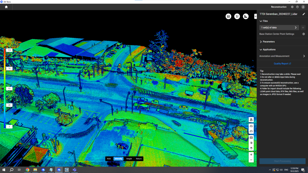
AI and 3D Mapping for Infrastructure Inspection Aging infrastructure and increasing traffic loads make early detection of structural abnormalities more critical than ever — while traditional inspections remain time-consuming, costly, and reactive. Our AI-Powered Abnormalities Detection Solutions leverage LiDAR, high-resolution imagery, and advanced analytics to identify structural irregularities in bridges, buildings, and roads — before […]
Optimize Oil palm Replanting with LiDAR-Based Image Processing
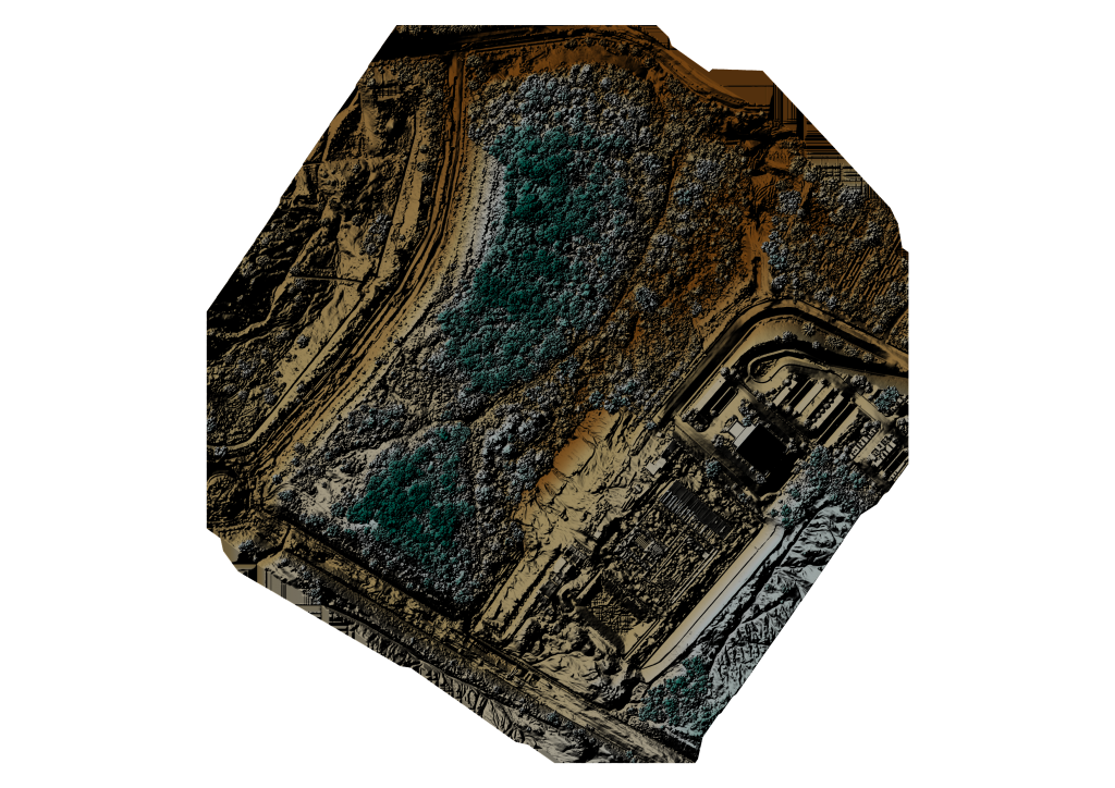
Optimize Oil Palm Replanting with LiDAR Replanting decisions in oil palm plantations are high-cost and high-impact — making accuracy and timing critical for long-term productivity. Our LiDAR-Based Image Processing Solutions for Oil Palm Replanting provide plantation owners with a precise, data-driven approach to identify replanting zones, optimize land preparation, and reduce unnecessary replanting costs. By […]
Reduce Utility Costs & Power Smart Cities with MMS-Driven Digital Twins
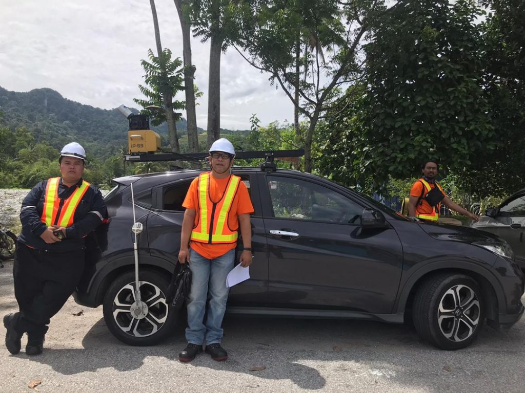
Digital Twin for Utilities with MMS and LiDAR Utility asset management is under constant pressure — aging infrastructure, rising maintenance costs, regulatory compliance, and the demand for smarter cities. Our Mobile Mapping System (MMS) for Utilities enables utility providers to capture high-accuracy 3D asset data at traffic speed, transforming physical infrastructure into a living Digital […]