
Replanting decisions in oil palm plantations are high-cost and high-impact — making accuracy and timing critical for long-term productivity.
Our LiDAR-Based Image Processing Solutions for Oil Palm Replanting provide plantation owners with a precise, data-driven approach to identify replanting zones, optimize land preparation, and reduce unnecessary replanting costs.
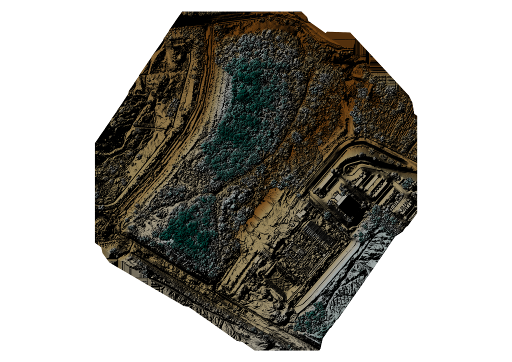
By processing high-resolution LiDAR imagery and 3D point clouds, we transform raw data into clear insights that support confident, strategic replanting decisions.
What our LiDAR image processing delivers:
- Accurate identification of aging, missing, and low-performing palms
- Canopy height, spacing, and density analysis to define replanting priority areas
- High-precision terrain models for land preparation and drainage planning
- Clear visualization of replanting blocks and phased replanting zones
- Reduced reliance on manual ground surveys
- Faster planning cycles with lower operational costs
Designed for plantation groups, estate managers, and agronomy teams, our solution minimizes replanting risks, improves capital allocation, and ensures replanting investments deliver maximum yield returns.
🌴 Replant with confidence — powered by LiDAR precision and intelligent image processing.
Contact us today to learn how LiDAR-based image processing can optimize your oil palm replanting strategy.