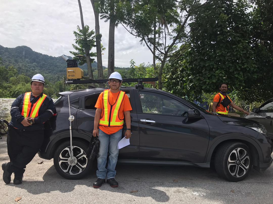
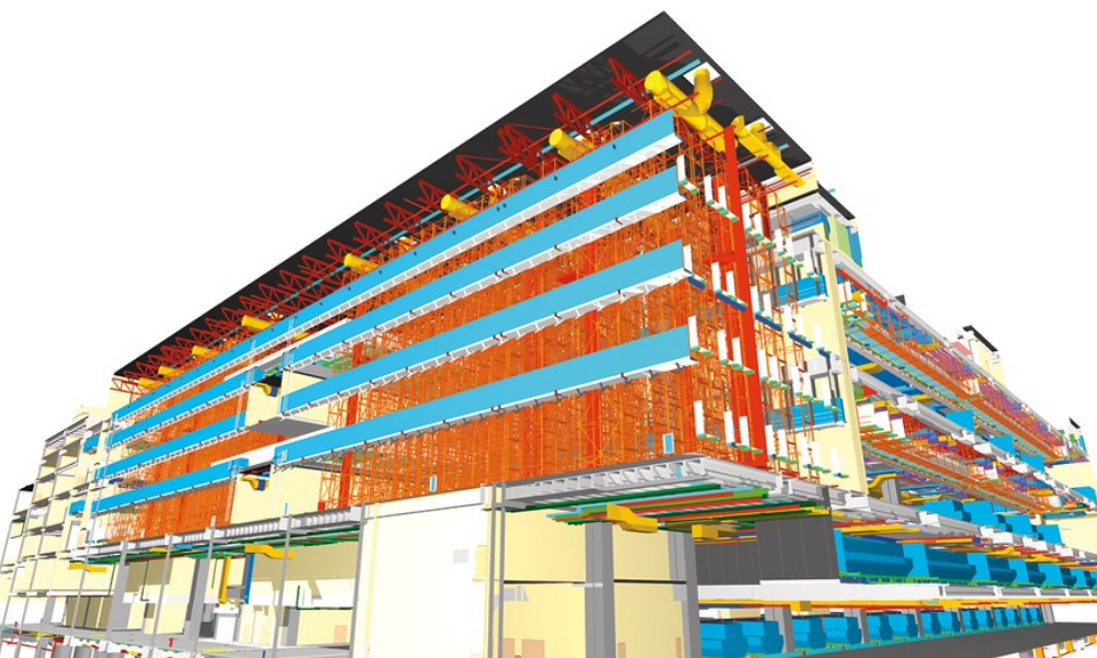
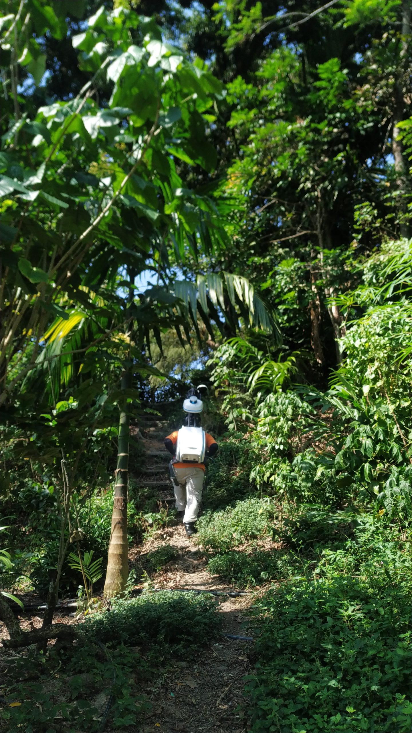
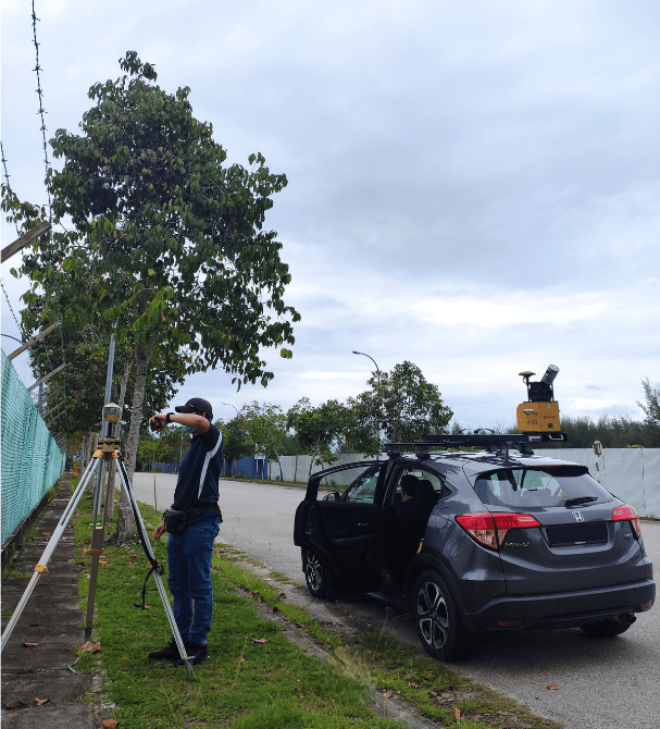
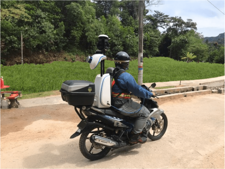
Mobile mapping has transcended its role as a mere data capture tool. Today, it empowers various industries with actionable intelligence, leading to real-world transformations. Utilities pinpointing every underground asset, optimizing maintenance and extending lifespans. Construction sites leverage real-time 3D models, streamlining workflows and ensuring safety. Environmental agencies monitor entire ecosystems with high-resolution imagery, taking proactive measures to protect critical resources.
This unlocks a world of possibilities:
Efficiency Surge: Streamlined data collection, faster surveys, and maximized operational output translate to significant time and resource savings.
Optimized Assets: Proactive maintenance extends asset lifespans, reduces downtime, and lowers overall costs.
Informed Decisions: Precise spatial data empowers smarter choices, minimizing risks and maximizing positive outcomes.
Enhanced Safety: Detailed capture proactively identifies potential hazards, ensuring compliance and reducing accidents.
From agriculture optimizing crop yields to transportation planning safer routes, mobile mapping impacts diverse industries. Even disaster response teams leverage its insights for quicker and more effective interventions.

