
Drone services
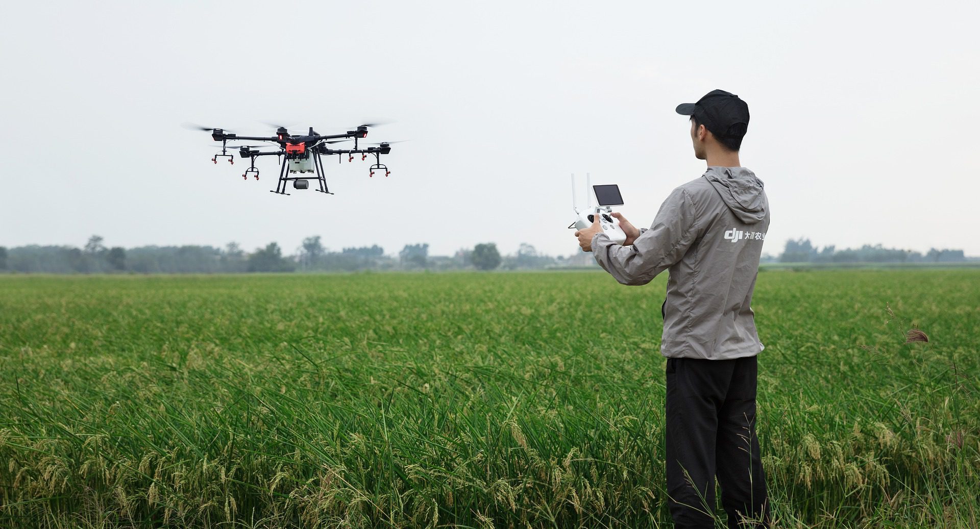
Drones have gone from an emerging technology to one seen in diverse fields in recent years. In geospatial applications, drones have proven to be a very pliable tool indeed. Drone Surveying is an efficient way to capture data and we are dedicated to providing the best for you.


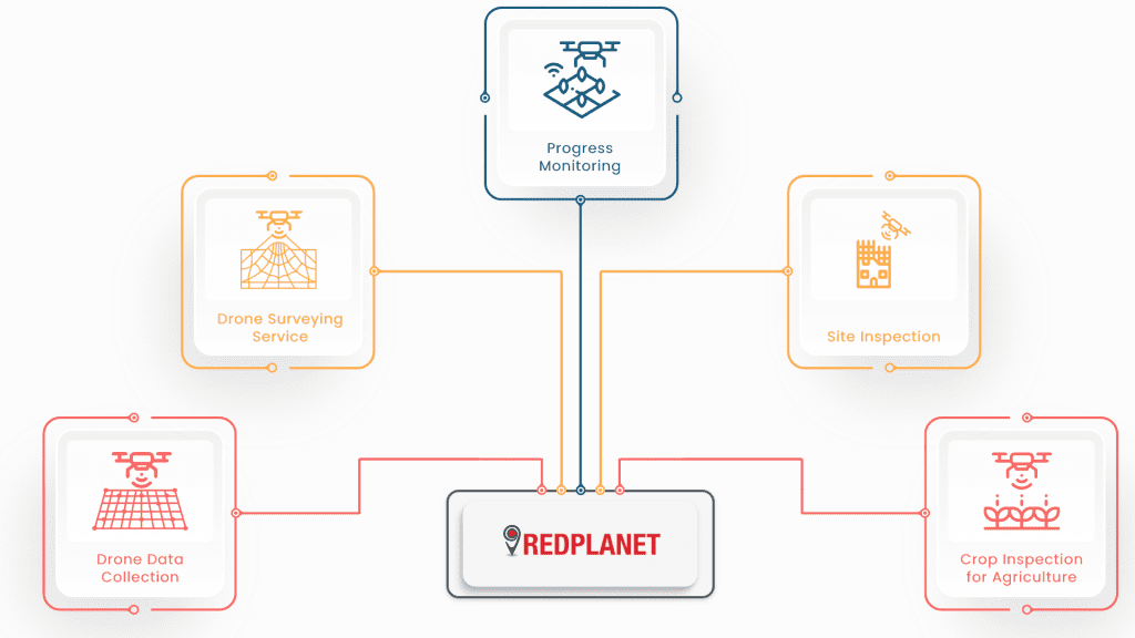
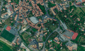 Multitude of photos taken by the drones are stitched together to create a 2D Orthomosaic Map. The maps generated can be used in any GIS software to further analyze and evaluate.
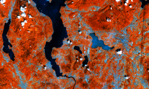 Images which are captured within a specific wavelength range on the electromagnetic spectrum are multispectral images. They give better insights for crop and agriculture management by identifying distinct property from each wavelength range.
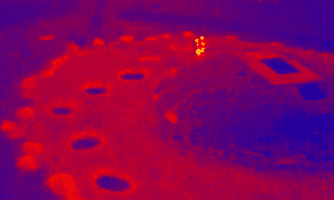
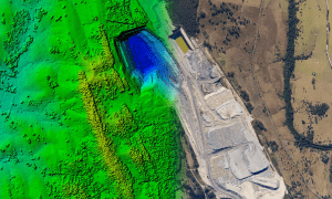 High resolution 3D maps can be captured with Building Information Modelling (BIM) software. 3D features such as hills, mountains, trees, and more can be generated and displayed in GIS software.
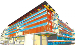 Images which are captured within a specific wavelength range on the electromagnetic spectrum are multispectral images. They give better insights for crop and agriculture management by identifying distinct property from each wavelength range.
 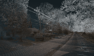 Light Detection and Ranging (LiDAR) camera can help drones to identify objects with more detail. It creates high resolution digital surfaces, terrain and elevation models and can be used for various business applications.