
Understanding vegetation accurately — from canopy structure to ground conditions — is critical for effective land, environmental, and asset management.
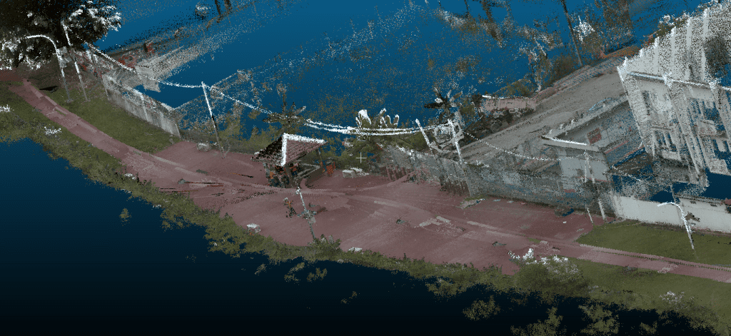
Our Vegetation LiDAR Solutions deliver high-resolution 3D data that penetrates vegetation layers to provide precise insights impossible to achieve with traditional imagery alone. Using advanced airborne and drone-based LiDAR, we turn complex landscapes into actionable intelligence.
What Vegetation LiDAR enables:
- Canopy height, density, and biomass analysis
- Accurate terrain models beneath vegetation (DTM/DSM)
- Vegetation classification and structure mapping
- Change detection for monitoring growth, degradation, or encroachment
- Reliable data for planning, compliance, and sustainability reporting
Ideal for plantations, forestry, utilities, infrastructure, and environmental projects, our Vegetation LiDAR solutions reduce field surveys, improve planning accuracy, and support smarter, faster decision-making.
🌿 See beyond the canopy — manage vegetation with confidence and clarity.
Contact us today to explore how Vegetation LiDAR can support your next project.